


About
the
experiment
Access Mars lets you explore a 3D replica of the Martian surface, exactly as it was recorded by the Curiosity rover. As Curiosity has travelled across Mars, it’s taken digital photographs with two stereoscopic camera systems. By combining and analyzing these photographs, scientists at NASA JPL have created a 3D model used to study Mars and plan future experiments. For the first time, this same 3D model is now available here for anyone to explore in their browser using WebVR.
Mapping
the
terrain
Step 01
Image mosaics are captured with the left and right Navcam and Mastcam.
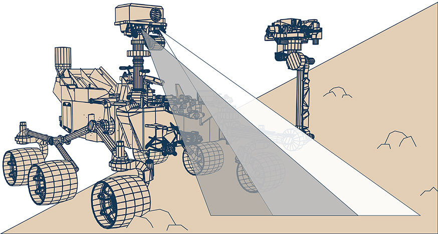
Step 02
The two mosaics are then combined together to create a stereo match.
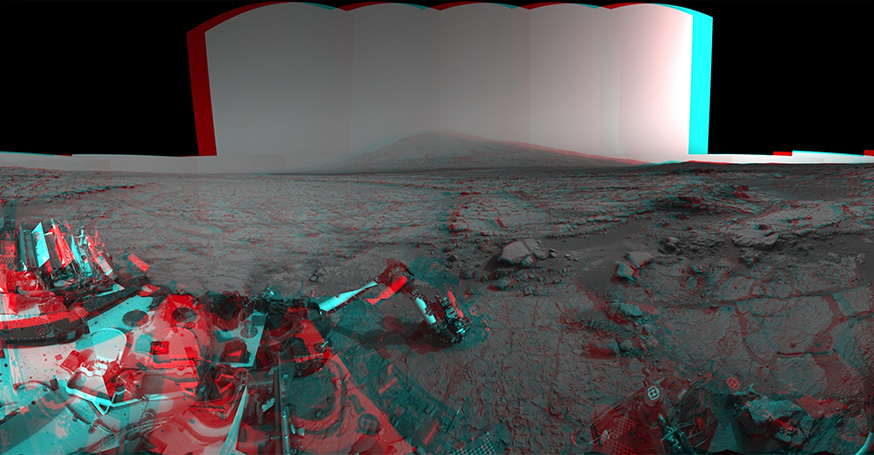
Step 03
Using the data from the stereo match scientists are able to extract 3D mapping data.
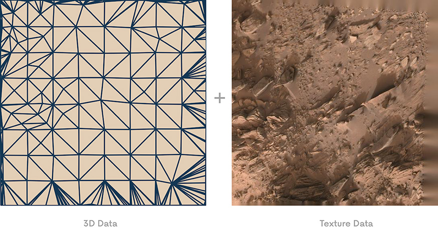
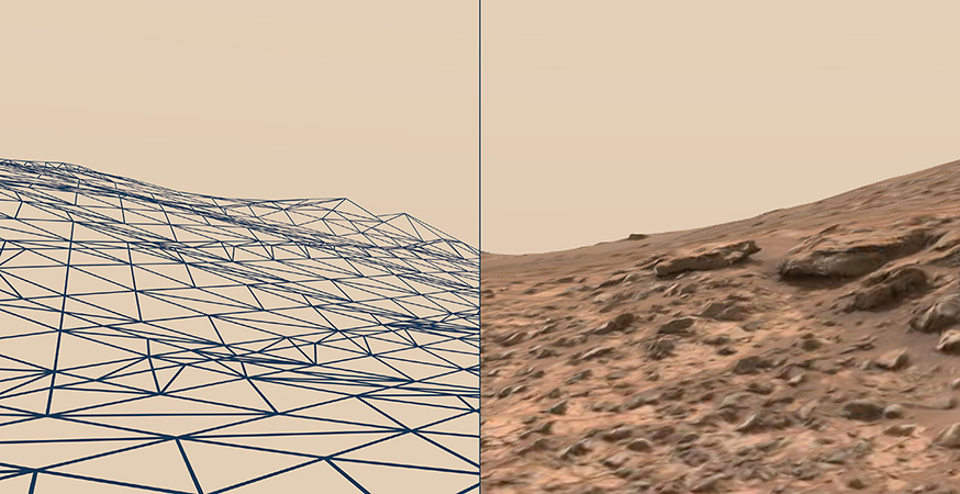
Step 04
Using metadata from the time, location, and direction the images were taken, scientists can tile the terrain data into a composite piece of terrain.
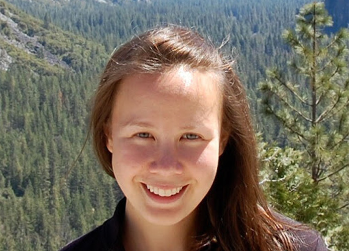
Introducing
Katie Stack
Morgan
As you explore the surface of Mars, you’ll learn about key points of interest from Katie Stack Morgan of NASA’s JPL. Since 2012, Katie has been working as a planetary geologist on the Mars Science Laboratory mission, analyzing Curiosity’s discoveries and planning future parts of the mission. Her primary focus is studying the geology of ancient Mars to learn what the planet may have been like in the past, and if it might have supported life.
Learn More
Take a look at the code on GitHub. Check out more WebVR Experiments. Get the latest on Mars from NASA.